
Bert Flinn Park Needs a Parking Plan
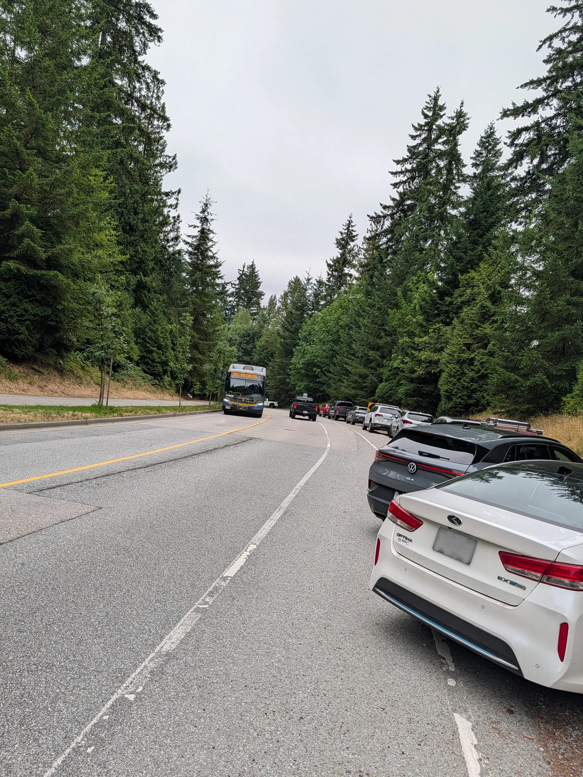
The parking at Bert Flinn Park on Heritage Mountain Blvd. (June 30, 2026)
Kyle, Solo, and I are in Bert Flinn Park almost every day. We know the trails, we know the regulars, and we know the moment in the morning when the gravel shoulder along Heritage Mountain Boulevard fills up and things start to get sketchy.
Here’s what that looks like. Cars line the gravel shoulder south of the David Avenue roundabout, spilling into the bike lane. A family pulls up, parks half on the road, and unloads a dog and two kids into moving traffic. A mountain biker lifts a bike off a roof rack while cars squeeze past. A couple walks their lab along the boulevard toward the trailhead with no sidewalk, no shoulder, and no separation from vehicles doing 50kph.
This is Port Moody’s largest park. 126 hectares of forest, trails, and creeks. It has 43 trails maintained by TORCA for mountain biking. It has the city’s most popular off-leash dog area, now expanded under a one-year pilot with a new morning mini-loop. It draws hikers, runners, families, and cyclists from across the Tri-Cities. On a sunny weekend, the trailhead area is packed.
And it has no parking.
Not “limited parking.” No parking. There is no City-managed lot, no formalized pull-off area, no designated space for the hundreds of people who drive to this park every week. What exists is a gravel shoulder that was never designed to be a parking area and a hope that people figure it out.
The School Lot Isn’t the Answer
The City’s own materials direct visitors to park at Heritage Woods Secondary School, past the roundabout on David Avenue. That lot is controlled by School District 43, not the City of Port Moody. During school hours, it’s not available to park users. And the conflict runs deeper than that.
School pick-up and drop-off times overlap almost perfectly with prime park hours. Morning drop-off coincides with the before-work dog walk crowd, which now includes the off-leash pilot’s 6 to 10 a.m. window. Afternoon pick-up collides with the after-school and after-work rush of hikers and bikers heading into the park. You’ve got parents manoeuvring minivans and park users unloading dogs and mountain bikes in the same space at the same time. It’s not a parking solution. It’s a second conflict zone.
More Users, Same Infrastructure
The park is getting busier, and there’s no sign of that changing. The off-leash pilot launched in September 2025 and is drawing more dog walkers to the park, particularly in the morning. TORCA’s trail network brings mountain bikers from across the region. Heritage Mountain’s population continues to grow as new housing is built in the area. The park’s popularity is a good thing. But the access infrastructure hasn’t kept up.
Meanwhile, the City’s own Street, Traffic and Public Places Bylaw limits parking adjacent to residential property to three hours between 7 a.m. and 7 p.m. on weekdays. So even the informal shoulder parking that people rely on comes with a ticking clock and the risk of a ticket.
What Needs to Happen
Bert Flinn Park needs a parking strategy. Not a mega-project. A plan that does three things:
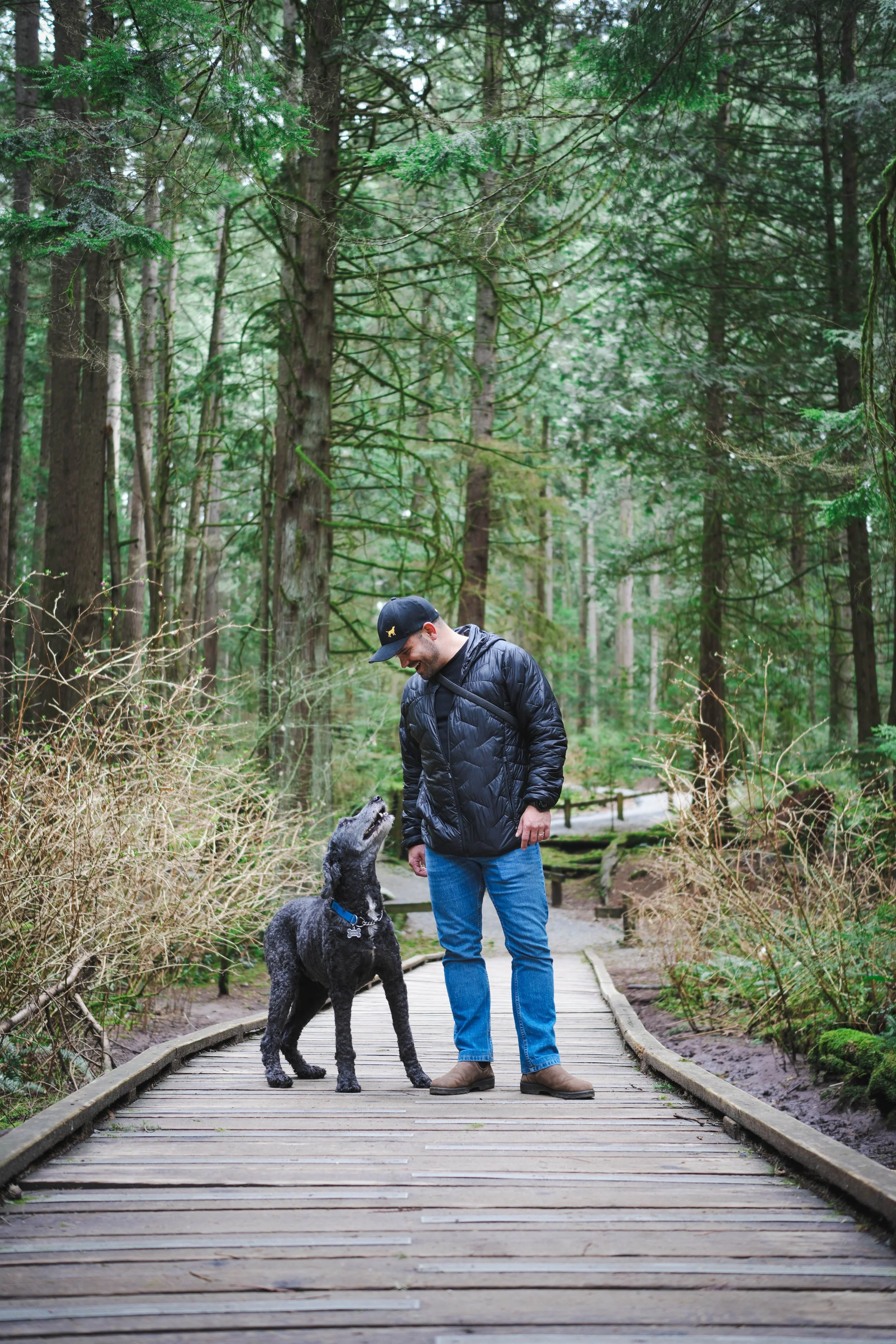
Solo and I in Bert Flinn Park (credit: Sean Gregor)
First, formalize the parking. Designate and improve a defined area where people can safely park to access the park. That could mean grading and marking the existing shoulder, creating a small gravel lot near the trailhead, or a combination. The goal is to turn ad hoc roadside chaos into something orderly that maximizes the number of vehicles the space can hold.
Second, design to keep the bike lane clear. Cars parked in the bike lane aren’t just an inconvenience. They push cyclists into traffic on a road that’s already flagged for safety upgrades. There’s a multi-use path on the other side of Heritage Mountain Boulevard, but that doesn’t help when the bike lane on the park side is blocked by parked cars and people are crossing the road with gear and dogs.
Third, create a safe path from car to trail. Right now, people park on the shoulder and walk along the road or squeeze in front of parked cars to reach the trailhead at the roundabout. There’s no pedestrian path, no real markings, no separation. A short gravel walkway or even painted pedestrian guidance from the parking area to the trail entrance would make a real difference.
None of this requires a massive capital investment. It requires someone to look at the situation, acknowledge the conflict between a park that’s growing in popularity and a trailhead that was never designed for this level of use, and put a plan in place.
We shouldn’t wait until someone gets clipped by a car to figure this out.